Is this measured pedestrian data?
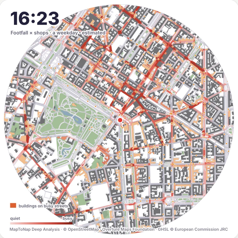
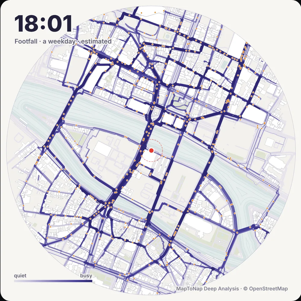
No. Footfall is an estimate built from open data: homes, stations, workplaces and the places open at each hour, with walkers moving along the street network. It is good for comparing streets and hours, not for counting people.
What do the overlays show?
Three readings on top of footfall: Busy and sunny (footfall on streets in direct sun at that hour), Busy and shopping (footfall along shops and cafés) and Busy, no green (busy streets with no green nearby).
Can I put the result on a board?
Yes. Show the result gives the numbers, an hour-by-hour chart and a conclusion, and you can save it as an A3 PNG sheet. The animation exports as a 24-hour video.
Which plan includes Footfall?
Footfall is one of the Deep Analysis studies, part of Max. You can try it free on the Paris sample.
Is it free?
You can try MapToNap free: four 2D drawings (roads, land use, green and water, urban fabric) and one 3D drawing, with a watermark and no sign-up. Without the watermark and with all 92 analyses there are one-time passes: Pro €7.99 or Max €12.99 for 30 days, or a year of Max for €49. Nothing renews automatically.
Do I need to install anything? Does it work on a phone?
No installation and no setup. MapToNap runs in the browser on any computer, tablet or phone, iPhone or Android: open maptonap.com/app, type an address and press Generate. 3D drawings and simulations run smoothest on a computer.