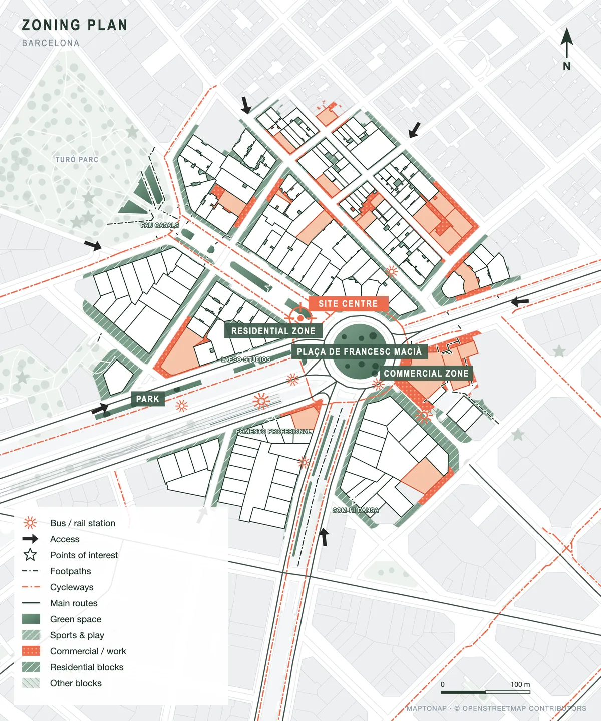
What is a zoning diagram in architecture?
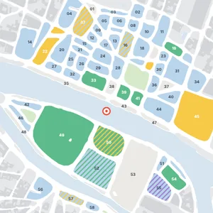
A zoning diagram divides an area or a building into zones by function, such as residential, commercial, public or green, to explain how it is organised. In site analysis it shows the functional structure around the site; in design it organises the programme.
Is this the legal zoning of the site?
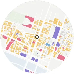
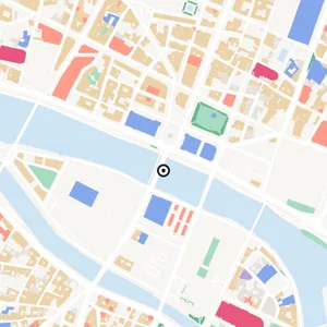
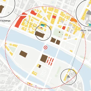
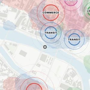
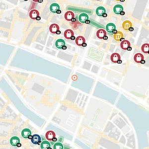
No. The drawings show actual land and building uses mapped in OpenStreetMap, not the legal zoning or the master plan of the municipality. Check the local planning documents for what may be built.
What if a building has no use tagged?
It is drawn as unspecified and counted separately in the legend, so the drawing never invents a use. In well-mapped cities most buildings are tagged.
Is it free?
You can try MapToNap free: four 2D drawings (roads, land use, green and water, urban fabric) and one 3D drawing, with a watermark and no sign-up. Without the watermark and with all 68 analyses there are one-time passes: Pro €7.99 or Max €12.99 for 30 days, or a year of Max for €49. Nothing renews automatically.
Do I need to install anything? Does it work on a phone?
No installation and no setup. MapToNap runs in the browser on any computer, tablet or phone, iPhone or Android: open maptonap.com/app, type an address and press Generate. 3D drawings and simulations run smoothest on a computer.