Can MapToNap make a presentation board automatically?
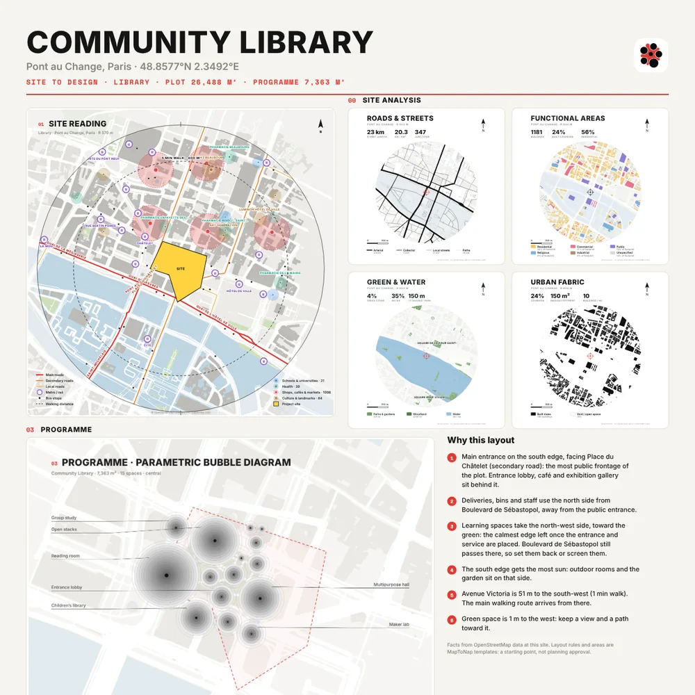
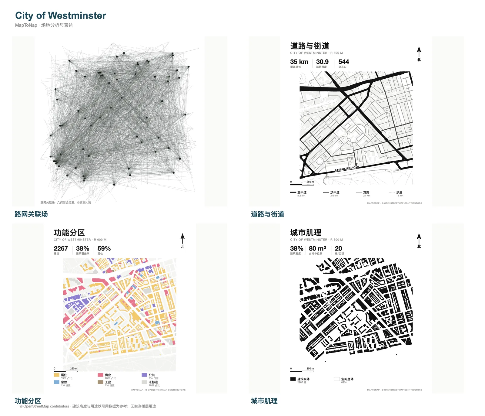
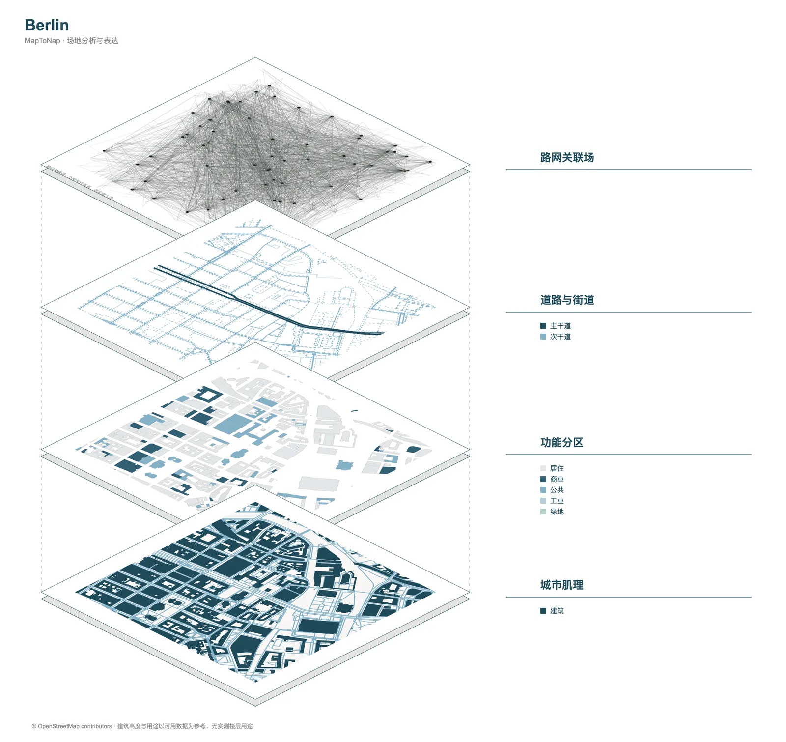
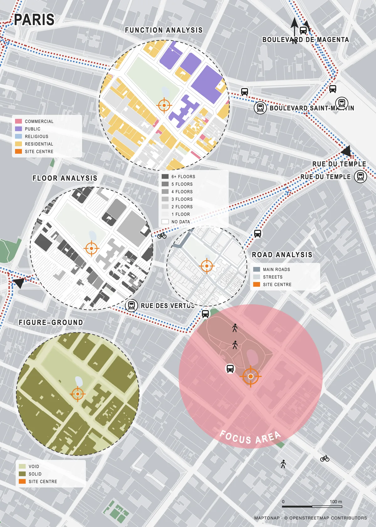
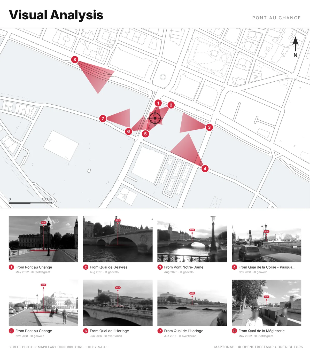
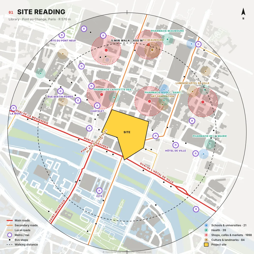
Yes, with Max. After a site analysis, Site to Design draws five linked drawings of your plot and lays them out with your analysis diagrams as an A1 board, a PowerPoint deck or A3 sheets. You can move or delete panels and edit drawings before downloading.
Is the PowerPoint editable?
Yes. The .pptx is generated in your browser with editable text boxes on each slide describing what the drawing shows and why, so you can rewrite it in PowerPoint, Keynote or Google Slides.
Are the drawings on the board real?
Yes. They come from OpenStreetMap, NASA POWER climate and open elevation data for your site, and from rules you can see, not from an image generator. Programme areas are starting points, not planning figures.
Is it free?
You can try MapToNap free: four 2D drawings (roads, land use, green and water, urban fabric) and one 3D drawing, with a watermark and no sign-up. Without the watermark and with all 68 analyses there are one-time passes: Pro €7.99 or Max €12.99 for 30 days, or a year of Max for €49. Nothing renews automatically.
Do I need to install anything? Does it work on a phone?
No installation and no setup. MapToNap runs in the browser on any computer, tablet or phone, iPhone or Android: open maptonap.com/app, type an address and press Generate. 3D drawings and simulations run smoothest on a computer.