What is a sun path diagram?
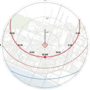
A sun path diagram shows the path of the sun across the sky for a given latitude, usually for the solstices and the equinox, with the hours marked. Drawn over a site plan, it shows from which directions and at what height the sun reaches the site.
How do I find the shadows on my site?
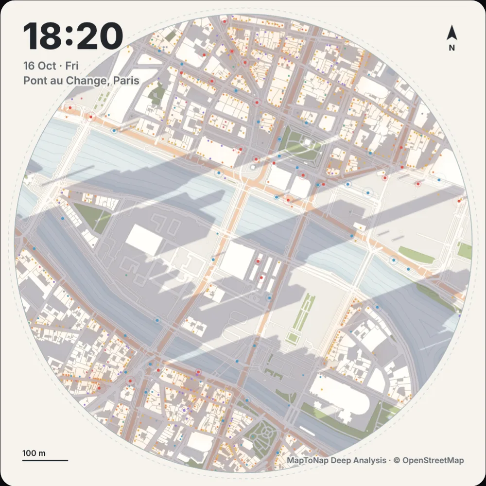
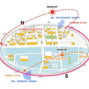
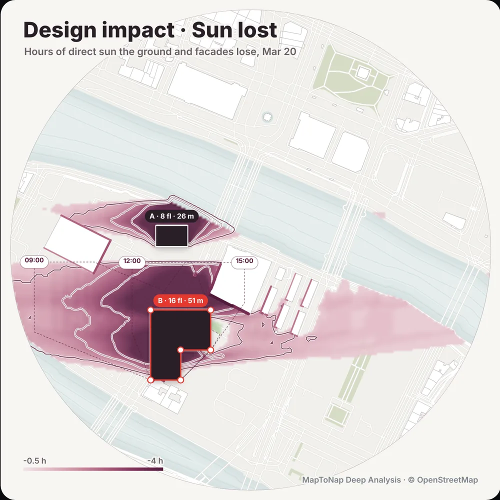
You need the sun position for the date and time and the heights of the buildings around the site. MapToNap takes both, from the latitude and from OpenStreetMap building heights, and draws the shadows for a full day in Deep Analysis, or the sunlit facades in the sun and wind axonometric.
Where does the solar radiation data come from?
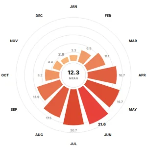
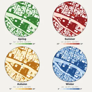
From NASA POWER, a global dataset of daily solar radiation and weather from 2014 to 2023, averaged by month for the coordinates of your site. It suits site analysis; for engineering-grade daylight certification use dedicated simulation software.
Does it work in the southern hemisphere?
Yes. Sun paths are computed for any latitude, so the drawings are correct in Sydney, São Paulo or Cape Town as well as in Europe or North America.
Is it free?
You can try MapToNap free: four 2D drawings (roads, land use, green and water, urban fabric) and one 3D drawing, with a watermark and no sign-up. Without the watermark and with all 68 analyses there are one-time passes: Pro €7.99 or Max €12.99 for 30 days, or a year of Max for €49. Nothing renews automatically.
Do I need to install anything? Does it work on a phone?
No installation and no setup. MapToNap runs in the browser on any computer, tablet or phone, iPhone or Android: open maptonap.com/app, type an address and press Generate. 3D drawings and simulations run smoothest on a computer.