What is the architecture design set?
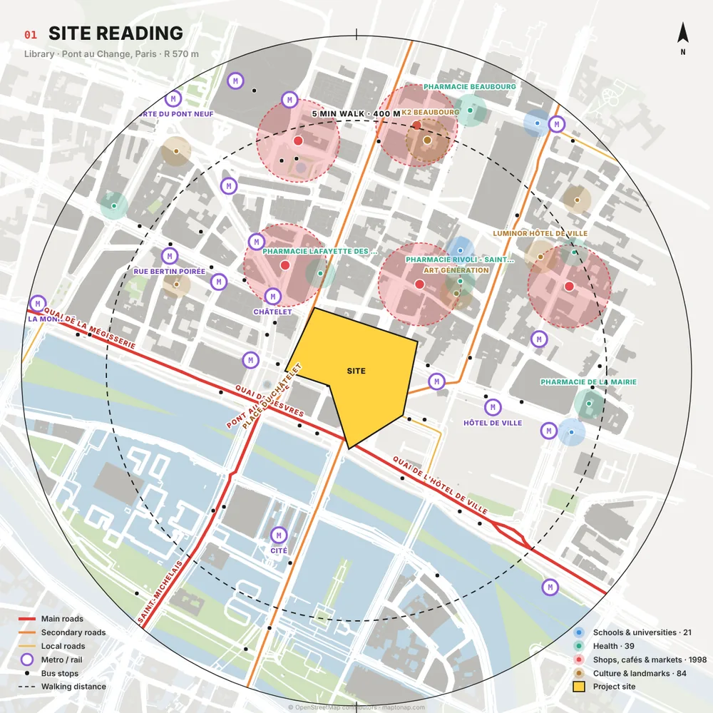
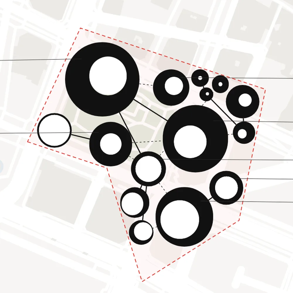
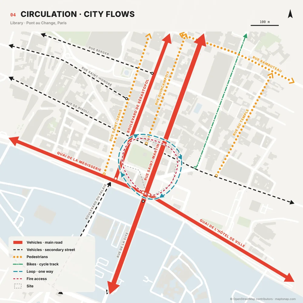
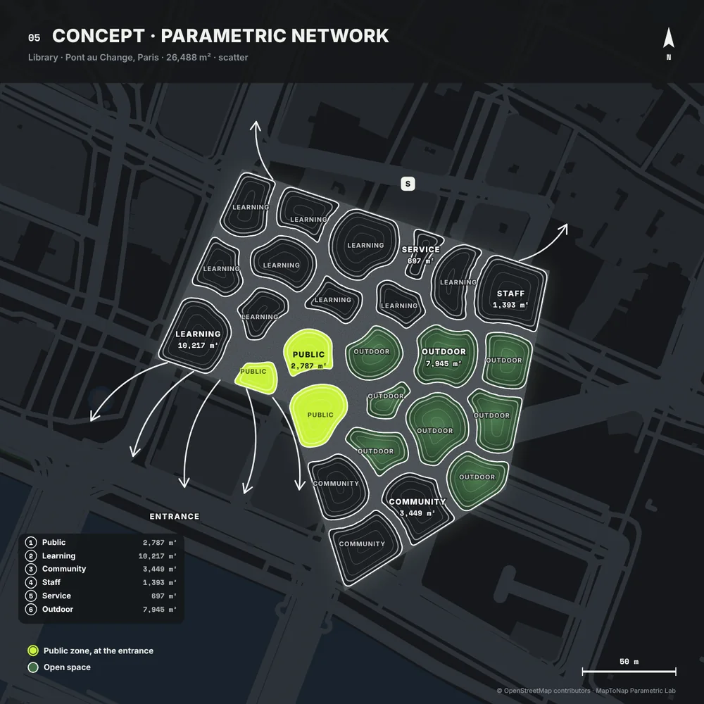
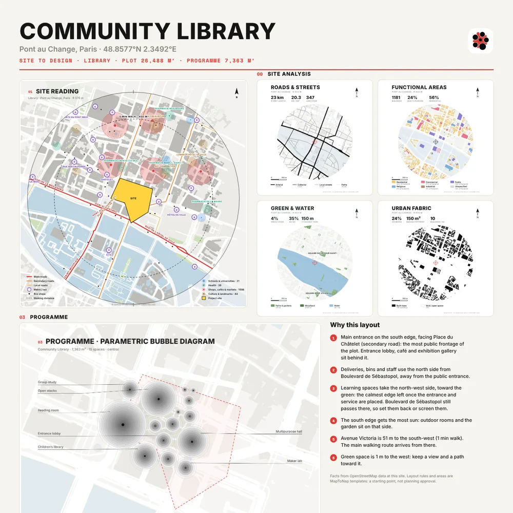
Linked concept drawings for a marked plot: Site reading, Site story, Programme, Circulation, Concept, Massing in context and the Boards. They are drawn on the real site from OpenStreetMap data with clear rules for each building type.
Which building types can I choose?
Seventeen, including house, housing, office, mixed-use, library and school. Landscape projects have their own six-step set with five landscape types.
What does the massing show?
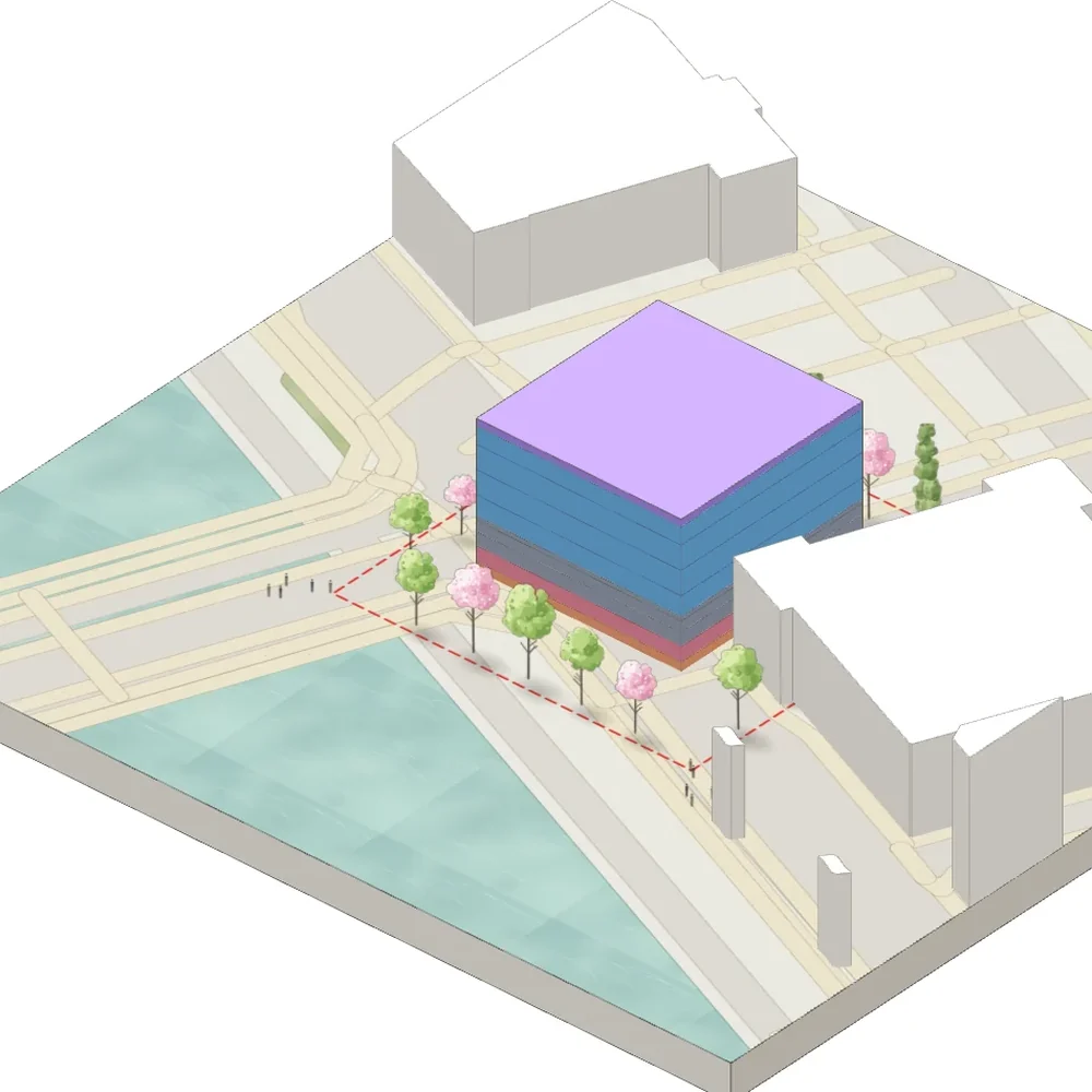
The programme stacked on the plot as coloured slabs, sized by area: public uses at street level, quieter zones and staff above, with the real neighbours drawn at their mapped or estimated height. Each floor is drawn at about 3.8 m. It is a concept massing, not a design.
Is it made by AI?
No. The drawings come from map data and fixed rules for each building type.
Can I edit the drawings?
Yes, right on the page, and each drawing downloads as PNG or editable SVG. The massing downloads as PNG.
Which plan includes it?
The architecture design set is part of Max.
Is it free?
You can try MapToNap free: four 2D drawings (roads, land use, green and water, urban fabric) and one 3D drawing, with a watermark and no sign-up. Without the watermark and with all 92 analyses there are one-time passes: Pro €7.99 or Max €12.99 for 30 days, or a year of Max for €49. Nothing renews automatically.
Do I need to install anything? Does it work on a phone?
No installation and no setup. MapToNap runs in the browser on any computer, tablet or phone, iPhone or Android: open maptonap.com/app, type an address and press Generate. 3D drawings and simulations run smoothest on a computer.