Does MapToNap export native Rhino 3DM?
Yes. The 3D Site exporter can create a native .3dm file in meters.
Build the surrounding city from a real address, inspect it in the browser and export a native .3dm file in meters. Buildings, terrain and context are organised so you can keep modelling in Rhino instead of rebuilding the site by hand.
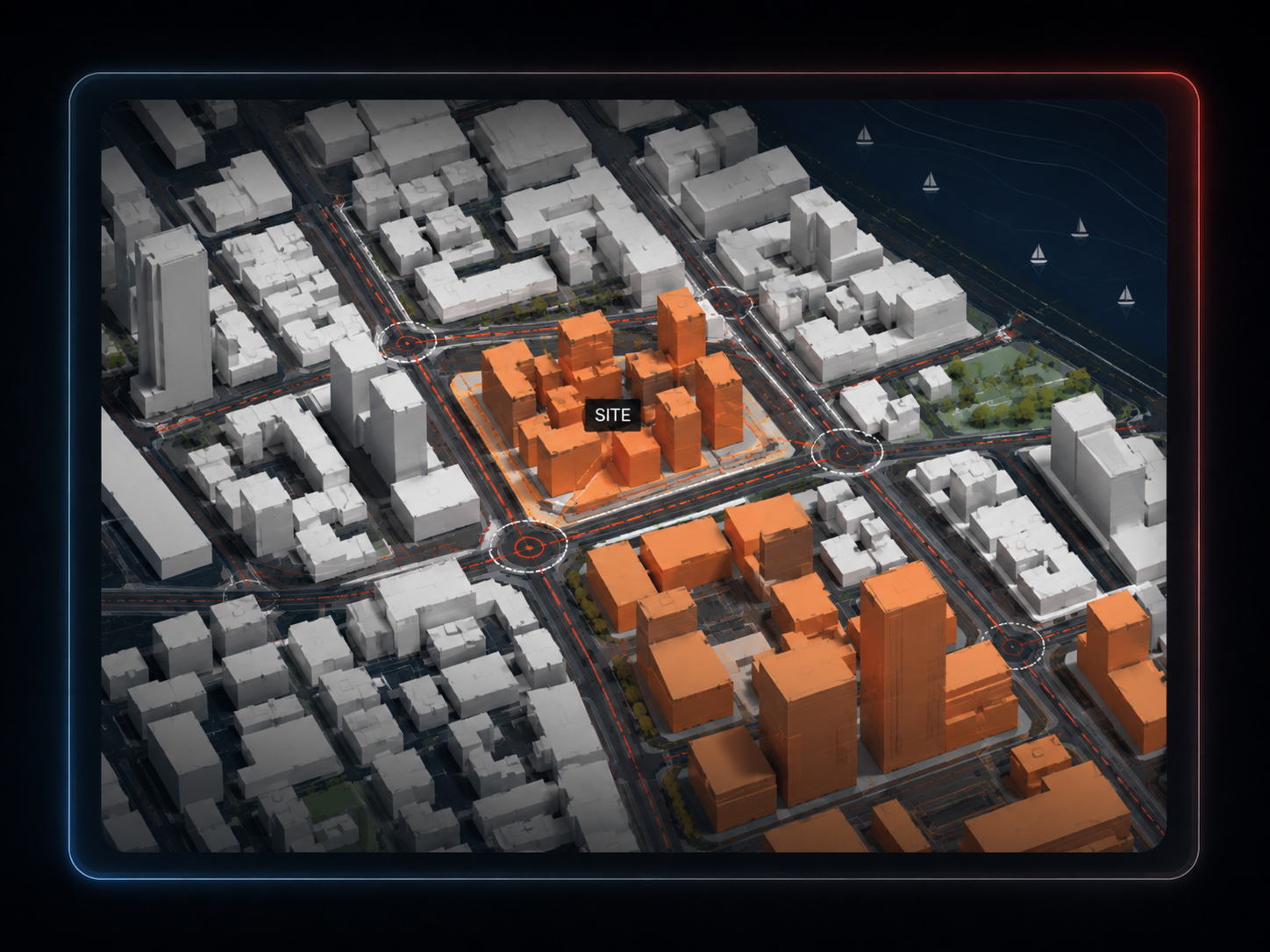
Search the project address and draw the context area you actually need.
Generate buildings, terrain, roads, water, green and trees and inspect the result before exporting.
Download the native .3dm file and continue with massing, design development or a Grasshopper-connected Rhino workflow.
The export is written in meters around a local site origin, keeping coordinates manageable for architectural modelling.
The Rhino file creates a MapToNap parent layer and separate context layers for the exported model content.
Use it for design and presentation. Heights can be estimated and the terrain source is regional rather than survey-grade.
Generate site-analysis drawings from the same location instead of rebuilding a second data workflow.
Use exploded city, program stack and analysis-stack tools in the browser before or alongside the Rhino handoff.
The 3D Site workspace can bring in a saved MapToNap floorplan model so context and proposal can be viewed together.
Yes. The 3D Site exporter can create a native .3dm file in meters.
Yes. The 3DM writer creates a MapToNap parent layer and separate model layers so context can be isolated more easily.
The export is a normal Rhino 3DM file, so you can open it in Rhino and reference or process its geometry in your own Rhino and Grasshopper workflow.
Where map height or floor-count data is missing, heights may be estimated. Treat the result as architectural context, not verified survey geometry.
The current 3D file exporter supports up to 4 km². With MAX, up to 1 km² includes three exports per 24 hours; 1–4 km² is €2 per export.