Can I download a 3D model for any city?
You can search locations worldwide, but model completeness depends on the available map and elevation data in that area.
Instead of downloading a huge city dataset and trimming it later, choose the site first. MapToNap builds a focused architectural context model around that selection and exports Rhino 3DM, OBJ or GLB.
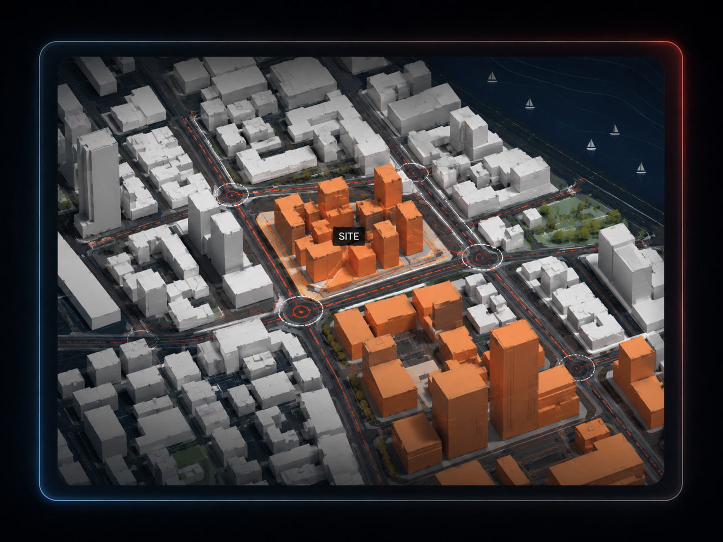
Building footprints and available heights become 3D context. Missing heights may be estimated.
Add terrain, water, green areas and low-poly trees when those layers matter to the project.
Keep roads and paths visible so the model still reads as a city rather than a pile of isolated blocks.
Search an address or place.
Draw a rectangle or circle around the useful project context.
Inspect the model in the browser, then export 3DM, OBJ or GLB.
Create a surrounding city base quickly when the proposal matters more than rebuilding context.
Use the same site for 39 analysis diagrams and the 3D model.
Get a fast massing and landscape reference before commissioning or importing more precise project data.
You can search locations worldwide, but model completeness depends on the available map and elevation data in that area.
Rhino 3DM, OBJ and GLB.
Not from the current 3D exporter. The supported export area is up to 4 km², which is intended for architectural site context rather than whole-region GIS delivery.
No. The export is geometry-based architectural context, not a photogrammetric textured city model.
No. It is a design-context model with a local origin, and some heights may be estimated.