Does MapToNap convert OSM directly to 3D?
It uses OpenStreetMap for mapped site context and builds 3D geometry from that data. Terrain, when enabled, uses a separate regional elevation source.
MapToNap reads the real site from OpenStreetMap, combines it with regional elevation data when terrain is enabled, and builds editable 3D context in the browser. Export the result as Rhino 3DM, OBJ or GLB.
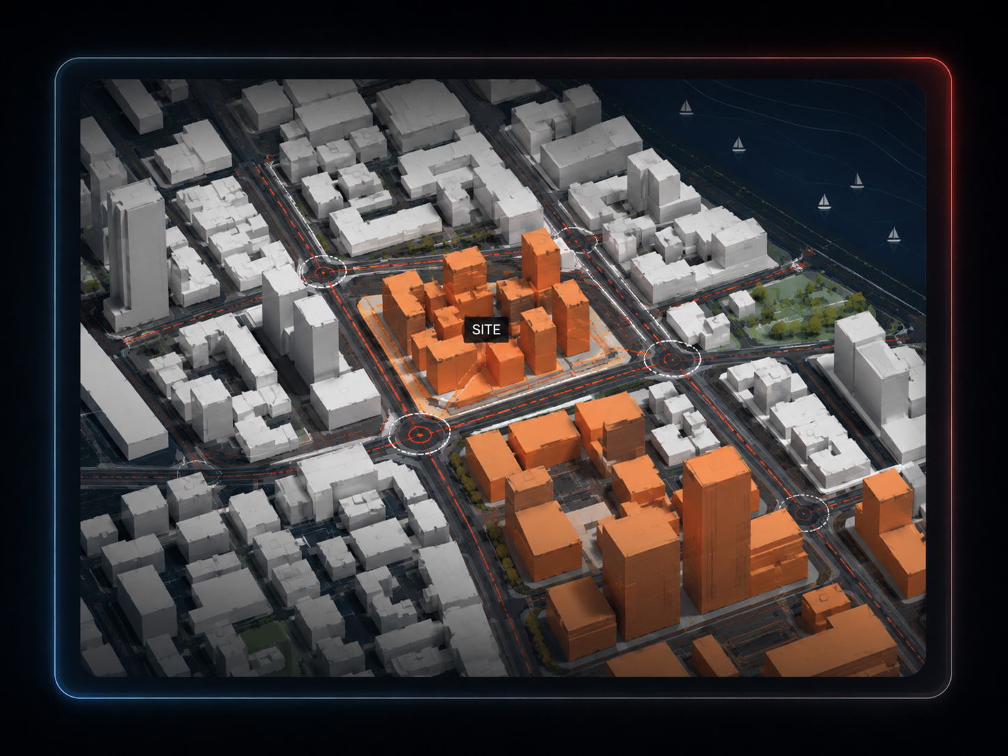
Buildings, roads and paths, water, green areas and mapped tree/context information come from open map data.
Terrain is generated from regional elevation data rather than from OSM building tags.
The result is generated as model geometry, not as an AI image or a textured satellite reconstruction.
Find the real project location in the browser.
Keep only the context layers and extent that matter.
Download 3DM, OBJ or GLB and continue in the software you already use.
Use the site model for massing, urban context and presentation.
Use the same real location for roads, land use, density, green/water, climate, topography and accessibility diagrams.
Keep OpenStreetMap attribution on map-based outputs and treat the geometry as context rather than verified survey data.
It uses OpenStreetMap for mapped site context and builds 3D geometry from that data. Terrain, when enabled, uses a separate regional elevation source.
No. The normal workflow starts from an address or location directly in the browser.
Rhino 3DM, OBJ and GLB.
No. When height or floor-count tags are missing, MapToNap may estimate building height. The model is intended for architectural context, not survey work.
Map-based geometry uses OpenStreetMap data, so keep the OpenStreetMap attribution on relevant project outputs.