Can I export the terrain as a 3D model?
Yes. Terrain can be included in the 3D model export as 3DM, OBJ or GLB.
Choose a site, enable Terrain and build a 3D ground surface from regional elevation data. Keep the terrain alone or combine it with buildings, roads, water, green areas and trees, then export 3DM, OBJ or GLB.
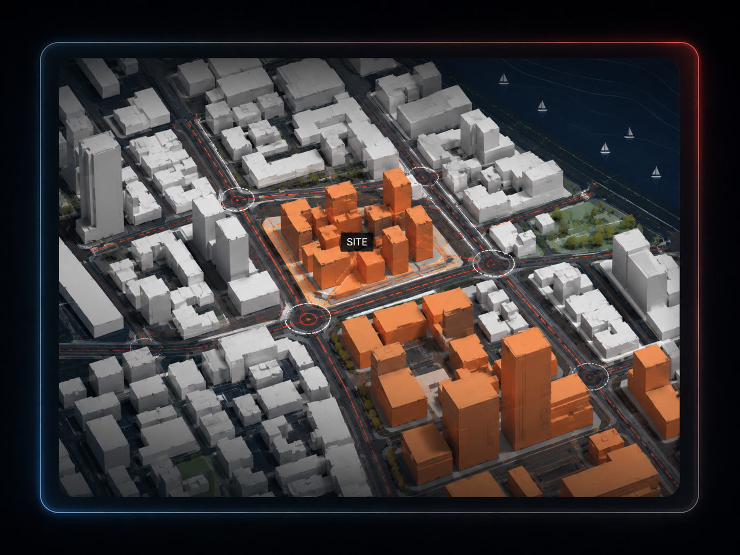
Terrain is generated from elevation data for the selected area rather than inferred from an AI image.
The 3D workspace lets you adjust terrain exaggeration while evaluating the model.
Use the terrain for architectural context, massing and presentation — not for grading, engineering or construction set-out.
Search the location and draw the model area.
Turn terrain on and optionally add buildings, roads, landscape and water.
Download the combined model as Rhino 3DM, OBJ or GLB.
Generate 2D topography analysis from the Site Analysis workflow.
Use the dedicated slope/drainage analysis as a diagrammatic reading of the site.
Use the terrain mesh underneath the surrounding city model for massing and presentation.
Yes. Terrain can be included in the 3D model export as 3DM, OBJ or GLB.
The 3D file exporter exports the terrain mesh. Contour interval controls are used in the 3D workspace, while dedicated topography diagrams are available separately in Site Analysis.
No. It uses regional elevation data and is intended for architectural context and presentation, not engineering accuracy.
Yes. Buildings, roads and paths, water, green areas and trees can be included alongside the terrain.
The current 3D file exporter supports selections up to 4 km².