What is an architecture site model?
It is a simplified 3D representation of the project site and surrounding context used for massing, urban relationships, presentation and early design decisions.
Architecture context is rarely just one file. MapToNap lets you build the 3D site model, generate 39 analytical drawings and continue into concept, strategy, floorplan/AXO and portfolio tools from the same project workflow.
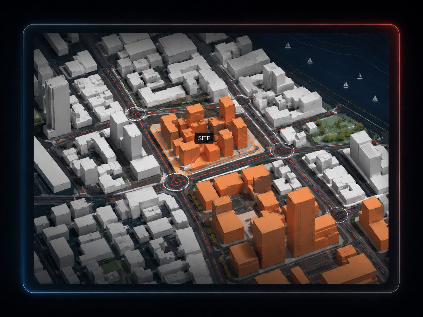
Build buildings, terrain, roads, landscape and water, then export 3DM, OBJ or GLB.
Generate 39 analysis types including urban fabric, land use, green/water, transit, density, topography and climate.
Move into concept, strategy, flow, bubble, plan, section and portfolio layout tools instead of restarting in unrelated apps.
Generate the analysis set and understand the urban conditions.
Generate and inspect the 3D site model.
Bring a saved MapToNap floorplan model into 3D context or continue the design in Rhino/other 3D software.
Ideal for massing, studio boards, competitions and context studies.
Building heights and other attributes depend on mapped data and may be estimated when missing.
Use verified survey, cadastral and engineering sources when the project moves into technical accuracy.
It is a simplified 3D representation of the project site and surrounding context used for massing, urban relationships, presentation and early design decisions.
Yes. The 3D Site workspace exports 3DM, OBJ or GLB, while Site Analysis provides 39 diagram types from the project location.
A saved MapToNap floorplan model can be imported into the 3D Site workspace so proposal and context can be viewed together.
No. It is an early-design context model, not a replacement for a verified survey or engineering base.