Can I upload any image?
Yes. The mapping workflow can use an uploaded image in addition to a selected map area.
Context Mapping turns a site, map or uploaded image into a multi-scale architectural atlas. It mixes context, close-ups, linework and contrast into a portfolio-style board rather than a simple screenshot grid.
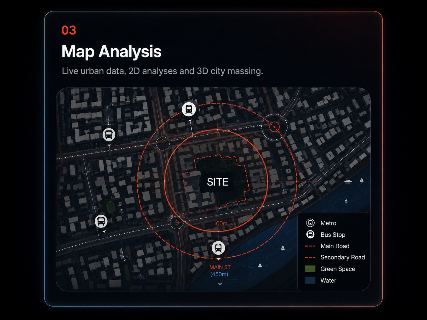
Combine different scales and crops of the same urban context to explain where the site sits in the city.
Regenerate the composition to get different block sizes, densities, crops and visual emphasis instead of one rigid grid.
Use site markers, orientation, scale, labels and context graphics to make the board read as architectural mapping.
Use the current site selection or upload a map or image.
Switch between black and white, blue, dark or red-oriented visual treatments.
Create the collage, try another variation and export the version that best fits the project.
Yes. The mapping workflow can use an uploaded image in addition to a selected map area.
No. The layout can randomise scale, crop, density and composition.
No. The mapping generator uses varied tile sizes, gaps, emphasis and multi-scale crops rather than a uniform checkerboard.
The integrated Site Analysis card provides standard export controls for the mapping output.